Norway Fjords Road Trip: Driving the Fjords in 7 Days
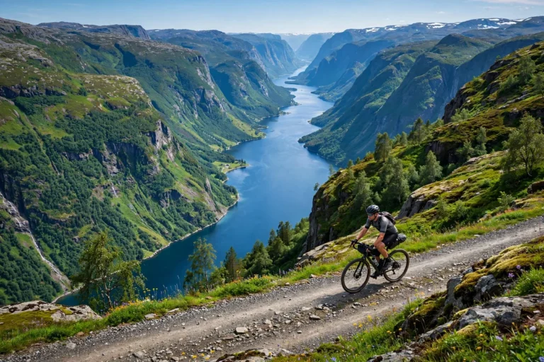
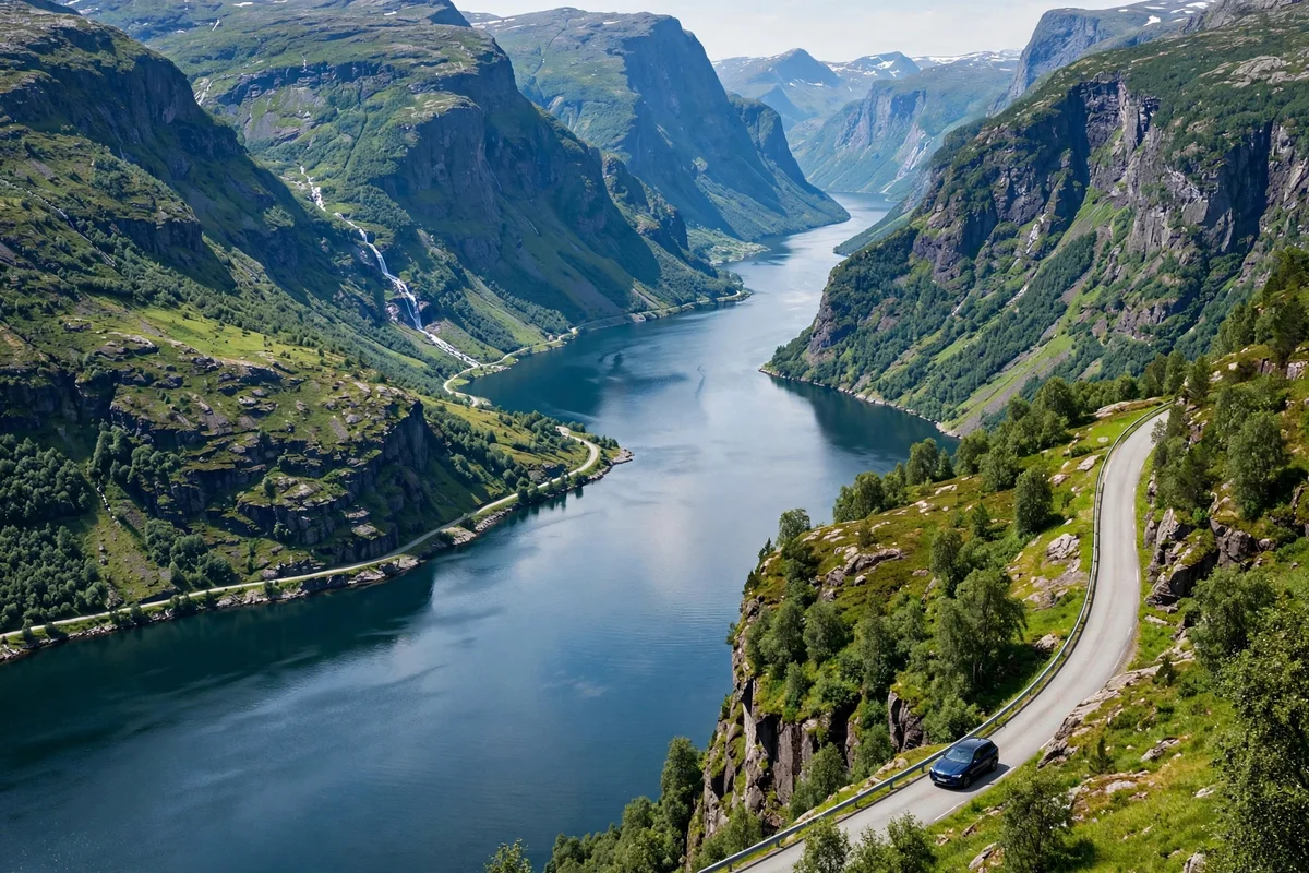
A car is the best way to see the fjords slowly, because the fjord roads are the trip. The trains and the boats are faster, and the cruise ships are easier, but the road is the only way to stop in the villages, climb to the viewpoints, and choose your own pace. This route is a seven-day loop from Bergen to Ålesund, through Flåm, Balestrand and Geiranger, and it follows the fjords the whole way. It is about 620 kilometres of driving and two ferries, spread over seven days so the driving stays short and the stops stay long.
The route is built for late May to late September, when the mountain roads are open. It works in a small car, and it works in a motorhome, though the motorhome is slower on the mountain roads and dearer on the ferries. Drive it in the order below, or drive it in reverse, but do not try to do it in four days: the fjords are slow, and the point of the road is to stop.
The route at a glance
| Day | Route | Distance | Driving time | Ferries |
|---|---|---|---|---|
| 1 | Bergen, the city and the harbour | Local | About 1 hour | None |
| 2 | Bergen to Flåm, via Voss and Stegastein | About 195 km | About 3 hours 35 minutes | None |
| 3 | Flåm to Balestrand, across the Sognefjord | About 80 km | About 2 hours | Fodnes to Mannheller, about 15 minutes |
| 4 | Balestrand to Geiranger, via Olden and Loen | About 150 km | About 3 hours 30 minutes | None |
| 5 | Geiranger, a rest day on the fjord | Local | Under 1 hour | None |
| 6 | Geiranger to Ålesund, via Trollstigen | About 192 km | About 3 hours 10 minutes | Eidsdal to Linge, about 13 minutes |
| 7 | Ålesund, the town and the viewpoint | Local | About 1 hour | None |
Distances and times come from route planners and travel guides, and they change with the road works and the ferry waits. Check the route on a map before you leave, and leave an hour of slack on the ferry days.
The distances and the ferry times are covered in full in the route planner guide on this site.
Day 1: Bergen, the city and the harbour
Start in Bergen, and do not drive far. Pick up the car in the afternoon, after you have seen the city, because Bergen is a walking city and the car is a burden in the centre. Walk the Bryggen wharf, take the Fløibanen funicular up Mount Fløyen for the view over the city and the fjord, and walk the harbour. The Fløibanen summer return costs NOK 200 on the app or NOK 220 at the window, and NOK 145 in winter.
Bergen is the gateway to the fjords, and it is also a fjord city in its own right: the Osterfjord runs from the harbour, and the Mostraumen boat leaves from the centre. If you have the evening, take the boat, a three to four hour round trip from about NOK 890 for an adult. The Bergen guide covers the city in full, and the best fjord cruise guide compares the day boats.
Stay in Bergen for the first night, and leave early on day two. The road to Flåm is the longest drive of the trip, and the morning light on the fjord is the best part of it.
Day 2: Bergen to Flåm, via Voss and Stegastein
Day two is the drive from Bergen to Flåm, about 195 kilometres and about three hours 35 minutes, with the detour to the Stegastein viewpoint. The direct route is about 167 to 170 kilometres and two and a half to three hours, and the Stegastein detour adds about 13.5 kilometres of climbing and the return. Take the detour: the viewpoint is 650 metres above the Aurlandsfjord, and it is the best view on the whole route.
The road follows the E16 east from Bergen to Voss, then through two long tunnels past Gudvangen, about 12 kilometres and then about 5 kilometres, and down to Flåm. The tunnels are the longest on the route, and they are well lit and well signed. From Flåm, drive up to Stegastein in the afternoon, when the light is on the fjord, and come back down to Flåm for the night.
Flåm is a small village at the head of the Aurlandsfjord, and it is the base for the fjord. The Flåm Railway runs from Myrdal down to Flåm, and the boat runs from Flåm through the Nærøyfjord to Gudvangen. If you arrive early, take the railway up and down, about an hour each way, from NOK 399 for an adult. The Flåm Railway guide covers the railway in full, and the Aurlandsfjord guide covers the fjord.
Day 3: Flåm to Balestrand, across the Sognefjord
Day three is the shortest drive, and the best ferry. From Flåm, drive to Fodnes, take the ferry to Mannheller, about 15 minutes, and drive on to Balestrand, on the Sognefjord. The whole day is about 80 kilometres and about two hours of driving, plus the ferry wait. The ferry runs every 20 minutes from 06:00 to 23:00, and hourly at night, so there is no need to book it.
Balestrand is the quiet side of the Sognefjord, a village of wooden hotels and orchards, and it is the best place on the route to slow down. Walk the village, take the boat across the fjord to Fjærland, at the foot of the Jostedalsbreen glacier, or drive to the glacier viewpoint. The Sognefjord guide covers the fjord in full, and the Lustrafjord guide covers the fjord arm to the east, with the Urnes Stave Church and the Nigardsbreen glacier.
Stay in Balestrand for the night, and leave early on day four. The drive to Geiranger is the longest mountain day, and the road is at its best in the morning.
Day 4: Balestrand to Geiranger, via Olden and Loen
Day four is the drive from Balestrand to Geiranger, about 150 kilometres and about three and a half to four hours, through Olden and Loen, and over the mountain to the Geirangerfjord. The road follows the Sognefjord east, then north through the valleys, past the Jostedalsbreen glacier, and down to the fjord at Geiranger.
Stop at Olden and Loen, on the Nordfjord. Loen has the Skylift, a cable car that climbs 1,011 metres in about five minutes, with a view over the fjord and the glacier. The Loen Skylift is the best viewpoint on the route after Stegastein, and it is worth the stop. The Hjørundfjord guide covers the fjord arm to the west of Ålesund, and the Sognefjord vs Geirangerfjord comparison covers the two famous fjords side by side.
Arrive in Geiranger in the late afternoon, and stay for two nights. Geiranger is the most famous fjord village in Norway, and it deserves a full day, not a drive-through.
Day 5: Geiranger, a rest day on the fjord
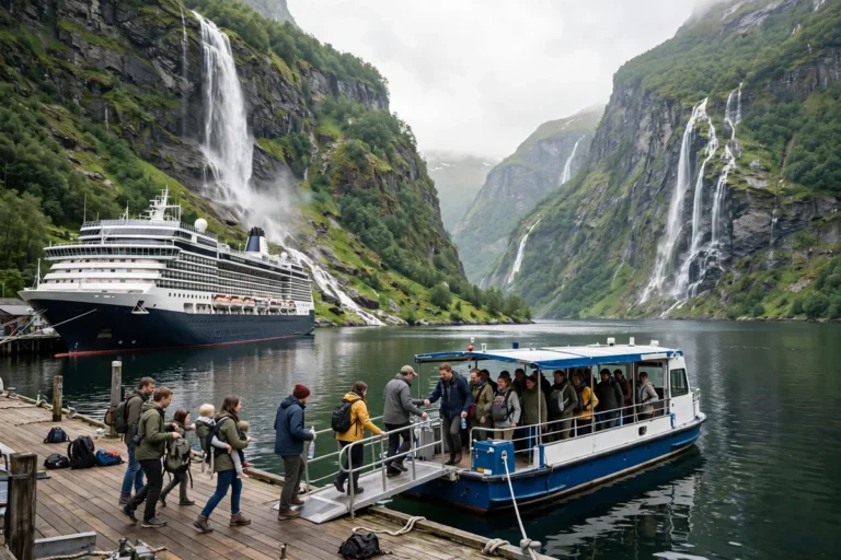
Day five is a rest day in Geiranger, and it is the day the trip is for. Take the sightseeing boat through the Geirangerfjord, a 75-minute cruise to the Seven Sisters waterfall and back, from about NOK 610. The boat is the only way to see the fjord properly, because the road stops above it, and the waterfalls are on the water.
In the afternoon, drive up to the Dalsnibba viewpoint, high above the fjord, and to the Flydalsjuvet viewpoint, above the village. Both are short drives from Geiranger, and both are the views the postcards use. If you want the walk, the trail from Geiranger to the farm at Skageflå, above the fjord, is the classic hike. The Geirangerfjord guide covers the fjord in full.
Stay in Geiranger for the second night, and leave early on day six. The Trollstigen road is the best drive on the route, and it is at its best in the morning, before the coaches.
Day 6: Geiranger to Ålesund, via Trollstigen
Day six is the drive from Geiranger to Ålesund via the Trollstigen road, about 192 kilometres and about three hours 10 minutes, with the Eidsdal to Linge ferry in the middle. The ferry takes about 13 minutes, and the fare is 81 kroner for a car up to six metres long. The route climbs out of Geiranger, crosses the mountain, and drops down the Trollstigen, the road with eleven hairpin bends down the mountainside, to Åndalsnes, then along the fjord to Ålesund.
The Trollstigen is a seasonal road, open from late May to late September, and it closes in winter. Check the road conditions on vegvesen.no, the Norwegian road authority, before you leave Geiranger, because the road closes for weather and for road works, and the detour is long. The road reopened on 27 April 2026 after the previous season, and it is the most famous drive in Norway for a reason: the bends, the waterfall beside the road, and the view from the top are the best on the route.
Arrive in Ålesund in the afternoon, and stay for the night. The town is the end of the fjord road, and it is the best place to finish the trip.
Day 7: Ålesund, the town and the viewpoint
Day seven is Ålesund, and it is a walking day. Climb the 418 steps to the Aksla viewpoint for the view over the town and the fjords, walk the Art Nouveau streets, and take the boat to the Runde bird island if the season is right. Ålesund is the prettiest town on the coast, and it is the best place to end the trip, because it has the restaurants and the hotels the fjord villages do not. The Ålesund guide covers the town in full.
From Ålesund, fly home from Ålesund Airport Vigra, or drive back to Bergen, about 400 kilometres and six to seven hours, with the ferry crossings, if you need to return the car. Or keep driving: the Atlantic Road, about 8 kilometres of bridges and causeways south of Kristiansund, is the most famous road in Norway, and it is about three hours from Ålesund. The best time to visit the Norway fjords guide covers the seasons month by month.
What it costs
A seven-day road trip costs about NOK 540 a day for a small hire car, and the average from Bergen is about NOK 835 a day. Petrol costs about NOK 26.84 a litre, and the trip uses about 45 to 50 litres for the 620 kilometres, so about NOK 1,200 to 1,350 for the fuel. The ferries cost about NOK 104 for a car under six metres, driver and passengers included, on the short crossings, and the Eidsdal to Linge ferry costs 81 kroner. The tolls cost roughly NOK 30 to 50 between Bergen and Voss, and the rental companies add an admin fee of NOK 30 to 80 per tolled day. A tag, an AutoPASS tag, gives a 20 percent discount on the tolls, and the rental company usually supplies one.
The total for the car, fuel, ferries and tolls is about NOK 5,500 to 8,000 for the week, before the hotels and the food. The hotels cost the most, and the fjord villages are dearer than the towns. Book the hotels early, because the fjord villages have few rooms, and the best ones sell out in summer. The cost and budget guide covers fjord prices in detail.
Driving rules and road conditions
Norway’s driving rules are strict, and they are enforced. Dipped headlights at all times, even in daylight. The drink-drive limit is very low, and the police check it. The speed limit is 80 kilometres an hour on the open road, and 50 in the villages, and the cameras are everywhere. The roads are narrow, and the tunnels are long, and the coaches and the motorhomes are slow, so leave time for them.
Check the road conditions on vegvesen.no before every mountain day, and check the ferry times on the operator’s site. The Trollstigen and the Geiranger mountain road close in winter, and the ferries run less often in the shoulder season. The road trip works from late May to late September, and the best weeks are June and September, when the roads are open and the traffic is lighter. The Norway in a Nutshell guide covers the public transport alternative, for travellers who do not want to drive.
If you would rather leave the driving to someone else, the northbound, southbound and round trip options are compared in full in the coastal express guide on this site.
The public transport options are covered in full in the guide on this site on visiting the fjords without a cruise.
What to skip
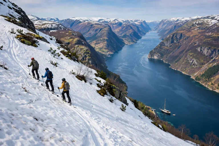
Skip the idea of driving the fjords in winter, unless you are used to snow and ice and you have the right car. The mountain roads close, the ferries run less often, and the daylight is short. Skip the motorhome unless you are used to driving one: the fjord roads are narrow, the ferries charge by length, and the parking is tight in the villages. Skip the biggest car: a small car is cheaper, easier to park, and cheaper on the ferries, and the roads do not need a big one. And skip the plan to drive Bergen to Geiranger in a day: it is about 370 kilometres and about eight hours with the ferry, and it is a long day with no time to stop.
Finding your way around
Key map links for the road trip:
- Bergen, Norway, the start of the route
- Voss, Norway, the rail and road junction on day two
- Flåm, Norway, the fjord village at the end of day two
- Stegastein Viewpoint, Norway, the viewpoint above the Aurlandsfjord
- Balestrand, Norway, the Sognefjord village on day three
- Olden, Norway, the Nordfjord village on day four
- Loen, Norway, the Skylift village on day four
- Geiranger, Norway, the fjord village on days four and five
- Trollstigen, Norway, the mountain road on day six
- Ålesund, Norway, the end of the route
Frequently asked questions
How long does the Norway fjords road trip take?
Seven days, from Bergen to Ålesund, through Flåm, Balestrand and Geiranger. The driving is about 620 kilometres, spread over seven days, with two ferries. Do not try to do it in four days: the fjords are slow, and the point of the road is to stop.
What is the best time for a Norway fjords road trip?
Late May to late September, when the mountain roads are open. June and September are the best weeks: the roads are open, the light is good, and the traffic is lighter than July and August. The Trollstigen road closes in winter.
How much does a Norway fjords road trip cost?
About NOK 5,500 to 8,000 for the week for the car, fuel, ferries and tolls, before hotels and food. A small hire car costs about NOK 540 a day, petrol costs about NOK 26.84 a litre, and the short ferries cost about NOK 104 for a car under six metres.
Do I need a car to see the fjords?
No. The trains, buses, express boats and day boats reach the main fjords, and the Nutshell route needs no car at all. A car helps if you want the fjord roads, the viewpoints and the villages the buses do not reach. The guide on this site on visiting the fjords without a cruise covers the public transport options in full.
Is the Trollstigen road open?
The Trollstigen is a seasonal road, open from late May to late September. Check the road conditions on vegvesen.no before you leave Geiranger, because the road closes for weather and road works, and the detour is long.